(Garmin says 3102 calories)
Awoke to a blood glucose of 4.8mmol, again not too big a drop. OH went into the village for croissants and bread . We had some boiled eggs with bread for breakfast, I saved my croissant for elevenses.
At last we were on the Cathare trail proper. Puivert nestles at the very edge of the Pyrenees; the way forward was clear, round the lake, across the fields and upwards towards the higher ground.
The trail went gradually upwards though because it was through woodland it was more enclosed than I like with few long vistas. We saw more people today including some mountain bikers riding hell for leather down the hill.
The woodland trail eventually lead to the village of Escale, our lunchstop.
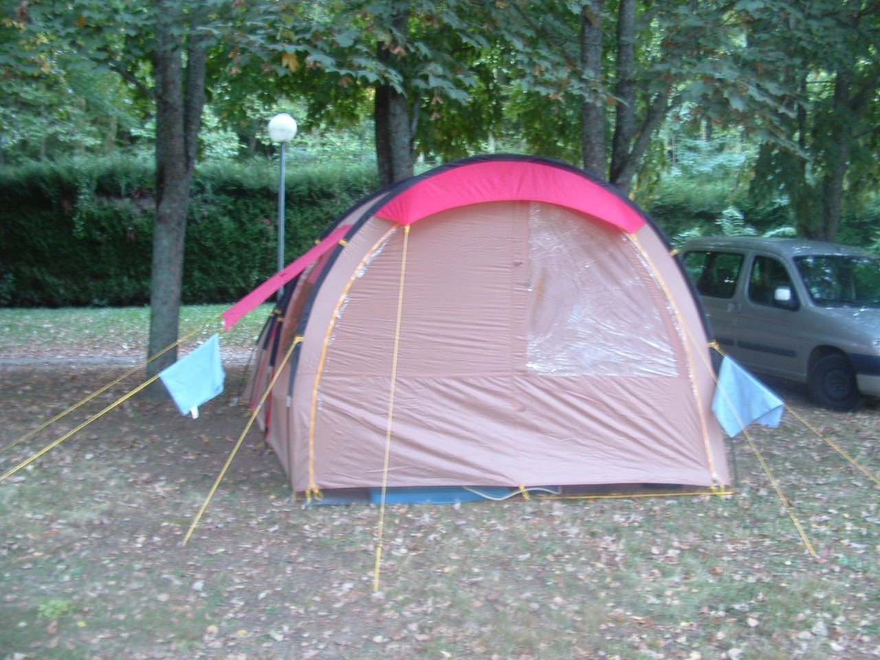
In spite of the flatter terrain, we were quite shattered when we arrived, we eagerly anticipated putting up the tent and a shower .
The campsite was on our way into town, but our faces dropped when we saw it; long grass, a few ancient caravans, no sign of life. We went in, found a building and pushed the door open. It was the sanitation block, one door opened to show a loo au Turque, in the corner was a sink that didn’t look much more modern than the lavoir in our village, and much dirtier. We don’t mind camping, but this was more like slumming it.
We walked out and wandered into town We met a young French girl, she and her boyfriend were also doing the Cathare Trail, they had decided to bivouac outside the village. We felt we were too old for that so investigated other possibilities. We soon found the gite d’etape, actually an Auberge . Yes they had room and we were soon installed in a comfy double room complete with shower. We were going up in the world!
If you want a fun evening, stay at the Gite at Espezel. Its owner sporting a typical French beret is a fabulous mine host. The food is good and in available in huge quantities, no one would leave hungry. The wine flows very freely. There is no choice, but it was all good, charcuterie, duck, salad, sauté potatoes, cheeseboard, tarte aux myrtilles. Our fellow guests at the gite were a group from Denmark on a week’s organised trip (the type where your luggage goes from place to place, (I sometimes got a bit envious) They spoke good English and we all got along well. From them we learnt that there was an English/Australian group staying at the hotel. We also met an older French couple. The two groups and the 2 couples were to become our companions on the journey, overtaking them, being overtaken and meeting up in the evening. I really enjoy this aspect of long distance walking in France. Mine host decided to initiate our Scandinavian friends into the intricacies of drinking from a poron (none of them seemed to have spent youthful holidays in the Costa Brava). I ended up impressing him by joining in with the chorus of the Occitan anthem . We rather staggered to bed, my meter tells me I remembered to test, it was 4.9 thought fortunately had risen slightly when I tested during the night. Meals like that take a fair time to digest!
Awoke to a blood glucose of 4.8mmol, again not too big a drop. OH went into the village for croissants and bread . We had some boiled eggs with bread for breakfast, I saved my croissant for elevenses.
At last we were on the Cathare trail proper. Puivert nestles at the very edge of the Pyrenees; the way forward was clear, round the lake, across the fields and upwards towards the higher ground.

The lake and castle at Puivert

Thats where we were going
The first 1.9 miles had only 121 ft of climb so was a gentle start. Then it got tougher. As we started to climb I became very conscious of the weight of the rucksack, it was one thing of the flatter ground but going uphill it slowed me quite a bit .The trouble is I’m not one of those people who can get by with the bare minimum of luggage. We took it steadily with frequent stops for tiny jellies and choc apricots, glucose levels were on the low side but not too low . I soon discovered that if my right shoulder was beginning to feel sore my levels needed topping up. It was almost as reliable as using the meter.

We spotted this newborn just before we started to climb up through the woods

The trail went gradually upwards though because it was through woodland it was more enclosed than I like with few long vistas. We saw more people today including some mountain bikers riding hell for leather down the hill.
The woodland trail eventually lead to the village of Escale, our lunchstop.

The village like so many others in the area helped provision the local Maquis. In August 1944 it was totally destroyed, set alight by Nazi troops .It wasn’t rebuilt until the mid fifities and there is a display showing the harsh temporary living condtions suffered by the locals during the early post war years.
After lunch we regained the trail which continues further upwards, past the PC du Masquisards, the stone hut which was the base of the Maquis. This was also set alight by the Germans but the resistants had already fled. It was restored in 1993.
The path eventually stopped climbing. We had started in Puivert at about 1550 ft and had climbed to about 3,200ft. We had started out walk amongst cultivated fields, it was really odd to have climbed so far and to be again in an area of very flat, cultivated fields. This was the Plateau du Sault and we were able to speed up for the last few miles to Espezel where we were going to camp.

In spite of the flatter terrain, we were quite shattered when we arrived, we eagerly anticipated putting up the tent and a shower .
The campsite was on our way into town, but our faces dropped when we saw it; long grass, a few ancient caravans, no sign of life. We went in, found a building and pushed the door open. It was the sanitation block, one door opened to show a loo au Turque, in the corner was a sink that didn’t look much more modern than the lavoir in our village, and much dirtier. We don’t mind camping, but this was more like slumming it.
We walked out and wandered into town We met a young French girl, she and her boyfriend were also doing the Cathare Trail, they had decided to bivouac outside the village. We felt we were too old for that so investigated other possibilities. We soon found the gite d’etape, actually an Auberge . Yes they had room and we were soon installed in a comfy double room complete with shower. We were going up in the world!

If you want a fun evening, stay at the Gite at Espezel. Its owner sporting a typical French beret is a fabulous mine host. The food is good and in available in huge quantities, no one would leave hungry. The wine flows very freely. There is no choice, but it was all good, charcuterie, duck, salad, sauté potatoes, cheeseboard, tarte aux myrtilles. Our fellow guests at the gite were a group from Denmark on a week’s organised trip (the type where your luggage goes from place to place, (I sometimes got a bit envious) They spoke good English and we all got along well. From them we learnt that there was an English/Australian group staying at the hotel. We also met an older French couple. The two groups and the 2 couples were to become our companions on the journey, overtaking them, being overtaken and meeting up in the evening. I really enjoy this aspect of long distance walking in France. Mine host decided to initiate our Scandinavian friends into the intricacies of drinking from a poron (none of them seemed to have spent youthful holidays in the Costa Brava). I ended up impressing him by joining in with the chorus of the Occitan anthem . We rather staggered to bed, my meter tells me I remembered to test, it was 4.9 thought fortunately had risen slightly when I tested during the night. Meals like that take a fair time to digest!
The graph shows reasonable control during the walk, so far but I was still skirting the lows a bit, its difficult to realise just how much you need to reduce the insulin when you are using so many calories each day. The mountain at the beginning, well it was certainly odd, perhaps something on my fingers from packing, or perhaps raised adrenalin levels as I started the walk. Who knows?
.